
Jalan Malaysia
An illustrated trip-planning map of Malaysia's 16 states and territories.
BMPeta perancangan perjalanan bergambar untuk 16 negeri dan wilayah Malaysia.
An illustrated trip-planning map of Malaysia's 16 states and territories.
BMPeta perancangan perjalanan bergambar untuk 16 negeri dan wilayah Malaysia.
- Category
- Transport & Travel
- Developer
- Chris Cheng Individual
The developer or team is based in Malaysia.
Made with Malaysian needs in mind, such as RM pricing, local rules or Bahasa Melayu.
Screenshots
About this product
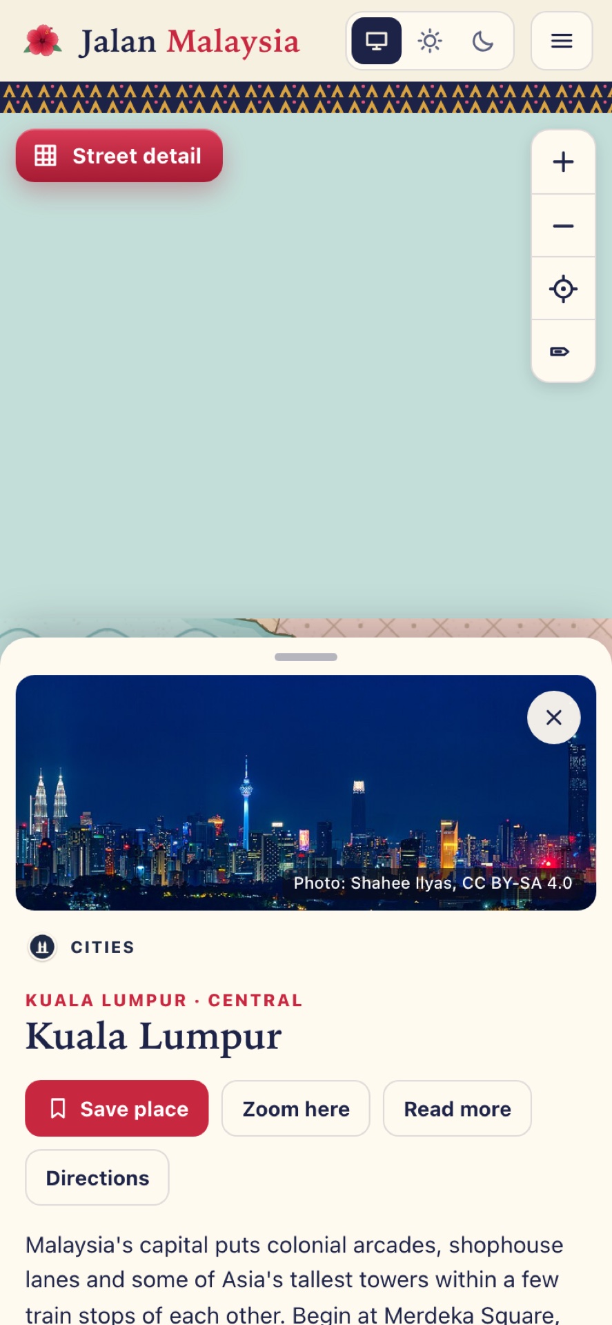
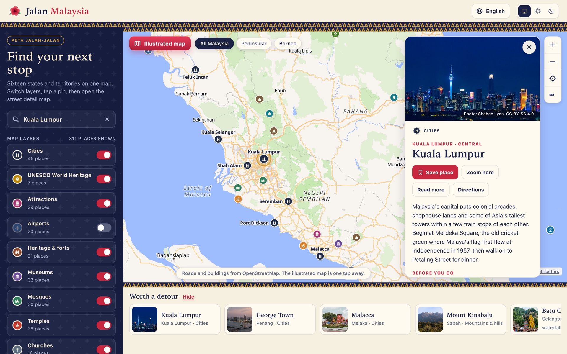
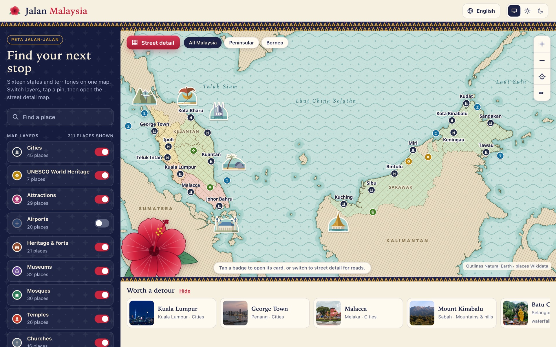
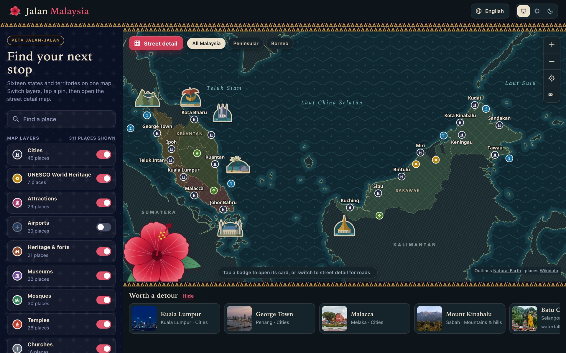
Jalan Malaysia is a free map for planning a trip around Malaysia's 13 states and 3 federal territories. It opens on an illustrated map with places in layers you can switch on and off: cities, UNESCO World Heritage sites, attractions, heritage and forts, museums, mosques, temples, parks, islands, food streets, dive sites and more.
- Tap a badge or search for a place to open its card, with a photo, a short guide and directions
- Save the places you want to visit
- Switch to Street detail for an OpenStreetMap street map with the same badges on top
- Light and dark themes, on a computer or phone
- In English, Malay, Indonesian, Simplified and Traditional Chinese, Japanese and Korean
Place data comes from Wikidata, and photos from Wikimedia Commons with credits.
Is this yours? Embed the badge.
Add it to your own website so visitors can find your listing here.


<a href="https://makakami.com.my/app/jalan-malaysia">
  <img src="https://makakami.com.my/badge/jalan-malaysia.svg"
    alt="Listed on MakaKami"
    width="150" height="40">
</a>